
Alternative Arts · Toronto
Vintage Map Prints
Explore places through historic maps and city views. A map can be a reminder of home, a favourite destination or a way to see how a city has changed. Start with the place and composition, then choose the print size.
Explore the artwork
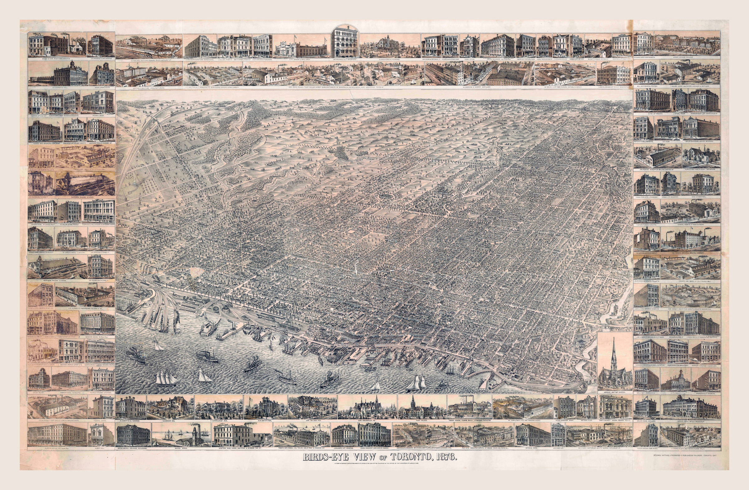
Bird’s-eye view of Toronto — 1876
A historic bird’s-eye view of Toronto, with the city and waterfront forming part of the composition.
Browse vintage maps Explore Toronto map prints
Historic maps and bird’s-eye views
A street map emphasizes routes, boundaries and labels. A bird’s-eye view presents the city as a landscape. Compare both types in the collection and inspect the artwork detail before deciding which will work best in your space. The collection offers reproductions for display rather than original antique maps.
Plan for the details that matter
A map may contain small street names, decorative borders and inset illustrations. Enlarging the print does not create detail missing from its source. If a specific street, building or inscription is important, ask the studio to discuss that detail and your intended size.
Choose a material and framing approach
Paper is a natural choice for a map with a mat and glazed frame. Canvas offers a textured display, and other finishes may be available in the selected artwork’s print studio. Compare print finishes and plan your dimensions before ordering.
Pair a map with a photograph
For a Toronto wall, consider a historic map alongside a vintage Toronto photograph. Compare the overall proportions and tones, then ask about custom framing that connects the pieces.
Browse the vintage maps
Open an artwork to inspect the image and choose its available size and finish.
- City of Toronto, 1857
- Toronto and suburbs — 1935
- Bird’s-eye view of Toronto — 1876
- Toronto from above
- 1855 Colton Map of the World on Mercator Projection
- Alexander & Cable’s Toronto and Suburbs
- City of Toronto Map
- East Canada and New Brunswick, c. 1850
- Greater Toronto — 1916
- Historical Map of Canada
- Historical Map of Italy
- Manhattan — historic city map
- The Crinan Canal
- Toronto Harbour and the Town of York
- Toronto map — 1842
- Toronto street plan — 1908
- Toronto transportation map
- Toronto waterfront panorama — 1893
- Toronto — illustrated transit map
- Township of York and City of Toronto
- Tremaine’s Map of the County of York — 1860
- Venezuela — Historical Map
Help choosing your print
Visit Alternative Arts at 474 Bloor Street West in Toronto’s Annex, or contact the studio for help with dimensions, materials and custom framing. See our shipping and pickup information before placing your order. Larger projects can be discussed with the studio.