Vintage Toronto Map Prints
Follow Toronto’s streets, waterfront and changing skyline through a map or a view from above. Start with the composition you enjoy, then choose a print size and finish that suit your space.
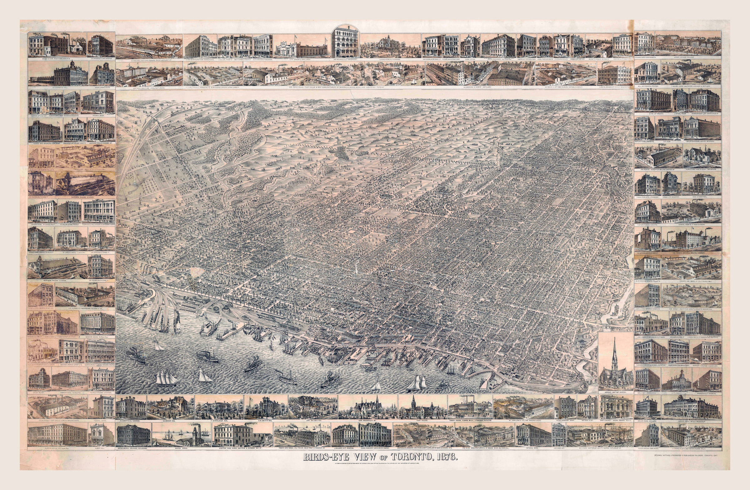
Bird’s-eye view of Toronto — 1876
Explore a broad view of the city, with the waterfront and street pattern forming part of the composition.
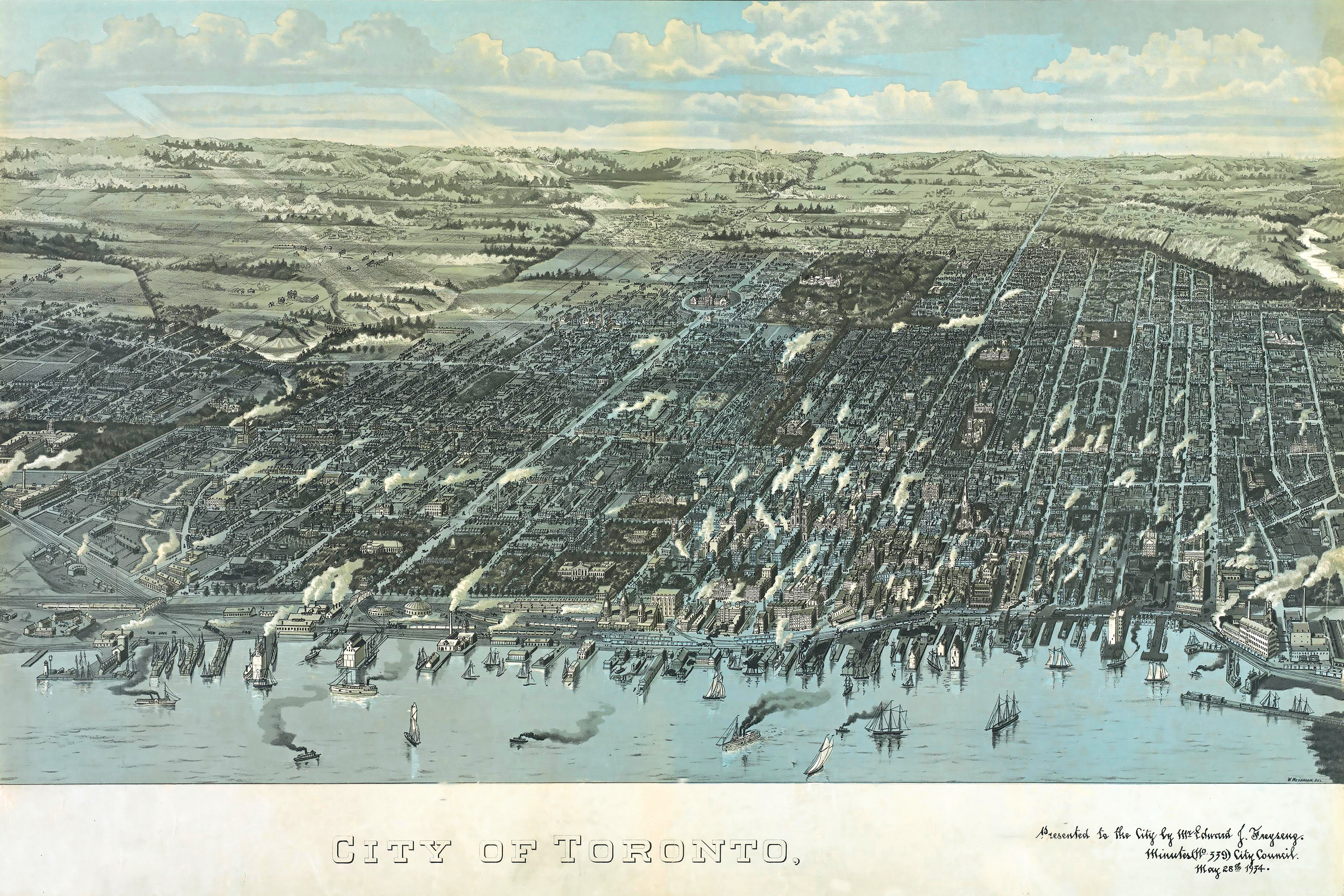
Toronto from above
Compare a different landscape view of Toronto before choosing the image for your wall.
Browse Toronto maps and photographs
Choose the map, then the size
A panoramic map and a more compact city plan will occupy a wall differently. Measure the space first, then use the print studio to choose a size that preserves the artwork’s proportions. Available dimensions depend on the individual image; a preview does not guarantee that every label will be readable at every size.
Use the artwork detail view to inspect the image. If a particular street, building or inscription matters to you, ask the studio before ordering.
Paper, canvas and other finishes
Paper is a natural starting point if you plan to frame the print with a mat and glazing. Canvas gives the image a textured surface. The artwork’s print studio shows the finishes available for that image and calculates the price for your selection.
Compare paper, canvas, acrylic and aluminum · Plan your print size
Help from our Toronto studio
Visit Alternative Arts at 474 Bloor Street West for help with size, material or custom framing. For current delivery and pickup details, see shipping and pickup. Custom framing enquiries are handled by the studio.